Pacific storm brings high winds and rain, disrupting flight operations Monday at San Diego International Airport
Flight impacts emerge as winds prompt operational restrictions
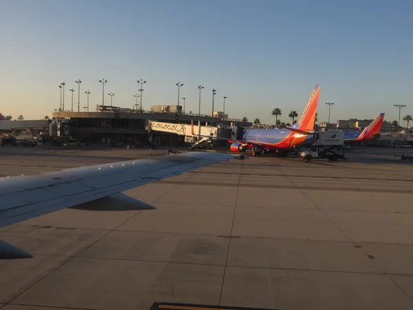
Flight operations at San Diego International Airport faced significant disruption Monday morning as strong winds moved across the region, triggering a temporary halt to air traffic and widespread delays. Aviation officials briefly shut down air travel at the airport due to high winds, while the Federal Aviation Administration implemented additional restrictions affecting inbound traffic and limiting access for unscheduled aircraft unless prior permission had been obtained.
By late morning, nearly 100 departing flights were listed as delayed, with only a small number of cancellations reported. The disruption affected both departures and arrivals, including hold programs for some flights bound for San Diego from other airports in the western United States.
Storm system forecast to continue through Thursday
The weather system impacting Southern California is expected to bring periods of rain, gusty winds, and mountain snow from Monday through Thursday. Forecasts call for a slight chance of thunderstorms from late Monday through early Tuesday. Below snow level, rainfall is expected to be moderate to locally heavy at times, raising the likelihood of ponding on roadways and minor urban street flooding in low-lying areas, including along the San Diego River through Mission Valley.
Winds are expected to be strongest around the passage of the cold front Monday afternoon and evening in San Diego County. Conditions are also expected to deteriorate again midweek, with stronger and potentially damaging west winds possible along mountain crests and adjacent desert slopes Tuesday afternoon through Wednesday.
Coastal hazards add another layer of risk for travelers
Marine conditions are also projected to worsen as the storm drives high and choppy seas. Increasing westerly swell is expected to produce large breaking waves along San Diego County beaches from Monday afternoon through the end of the workweek, along with stronger rip currents and hazardous swimming conditions.
What travelers can expect at the airport
Wind-driven disruptions can slow the flow of aircraft into and out of an airport even after a ground stop is lifted, as air traffic controllers meter arrivals and airlines reposition equipment and crews. Passengers can also see cascading delays when earlier flights are held on the ground or diverted.
- Delays may continue even if rain is intermittent, as wind gusts and low-level turbulence can affect takeoff and landing rates.
- Inbound restrictions can reduce gate availability and delay aircraft turnarounds.
- Midweek weather may create additional interruptions if stronger winds develop Tuesday and Wednesday.
For travelers, the most reliable near-term indicator is the real-time status of a specific flight, since weather-related delays often change by the hour as wind speeds and air traffic constraints fluctuate.
The storm pattern is expected to remain active through Thursday, with precipitation chances tapering later in the week.